
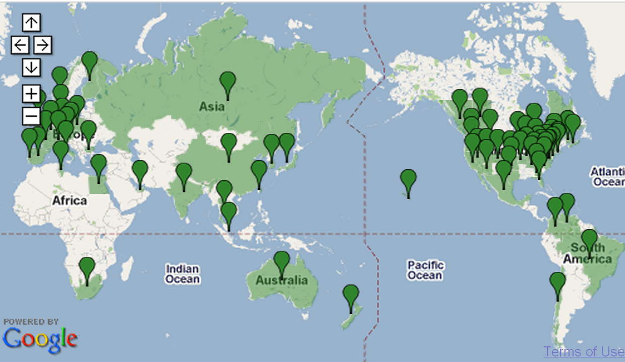
I have real problems planning a trip using public transport because I picture maps in terms on landmarks (turn left at the BP Service Station) rather than street names and actual distances. I like to know graphically what the transport network is and where and when I transfer from one […]