I have real problems planning a trip using public transport because I picture maps in terms on landmarks (turn left at the BP Service Station) rather than street names and actual distances. I like to know graphically what the transport network is and where and when I transfer from one service to another. I usually make a mistake when I just have a list of stops and times. Google Maps Transit gives me the information in the form I find useful
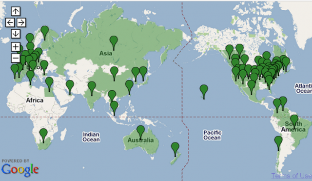
Some 446 cities around the world have some of their public transport information available via Google Maps Transit for web browsers or mobile phones
Australia only has three cities so far
- Perth, WA Transperth
- Adelaide, SA Adelaide Metro
- Sydney Sydney Monorail & Light Rail
I wonder when Brisbane will join in.

