
I like to be able to visualize data – it really helps in communicating measurements to a client. Often this is done by plotting the data of a floor plan and highlighting the areas where different levels of action is needed.
Google is about to launch Indoor Google Maps that allows the navigation inside a building and building owners will be able to upload floor plans. Rather than reply on GPS, the Indoors extension uses phone towers and WiFi hotspots to triangulate.
In Australia this will include some airports, IKEA stores, Sports venues, Art Galleries, and the Sydney Opera House. Some 10,000 floor plans have already been uploaded worldwide.
The venues will show as a blue dot on Google maps and the accuracy is presently a few meters.
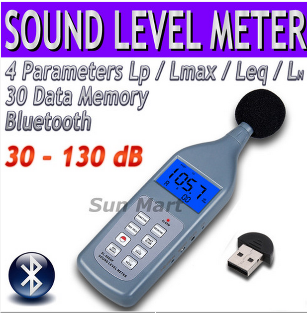
Bluetooth instruments like sound level meters are already available and it would not be impossible to integrate a meter with a tablet or mobile phone to directly log measurements onto a floor plan. (My Motorola Xoom tablet actually does quite a good job with its inbuilt light sensor and microphone. I’m not sure about the accelerometer and magnetometer response)
The area of indoor navigation technology is set to explode with the advent of smartphones that can act as sophisticated electronic guides. This will be great for advertisers, visually impaired people and people like me who can’t find things in shopping centers or supermarkets.